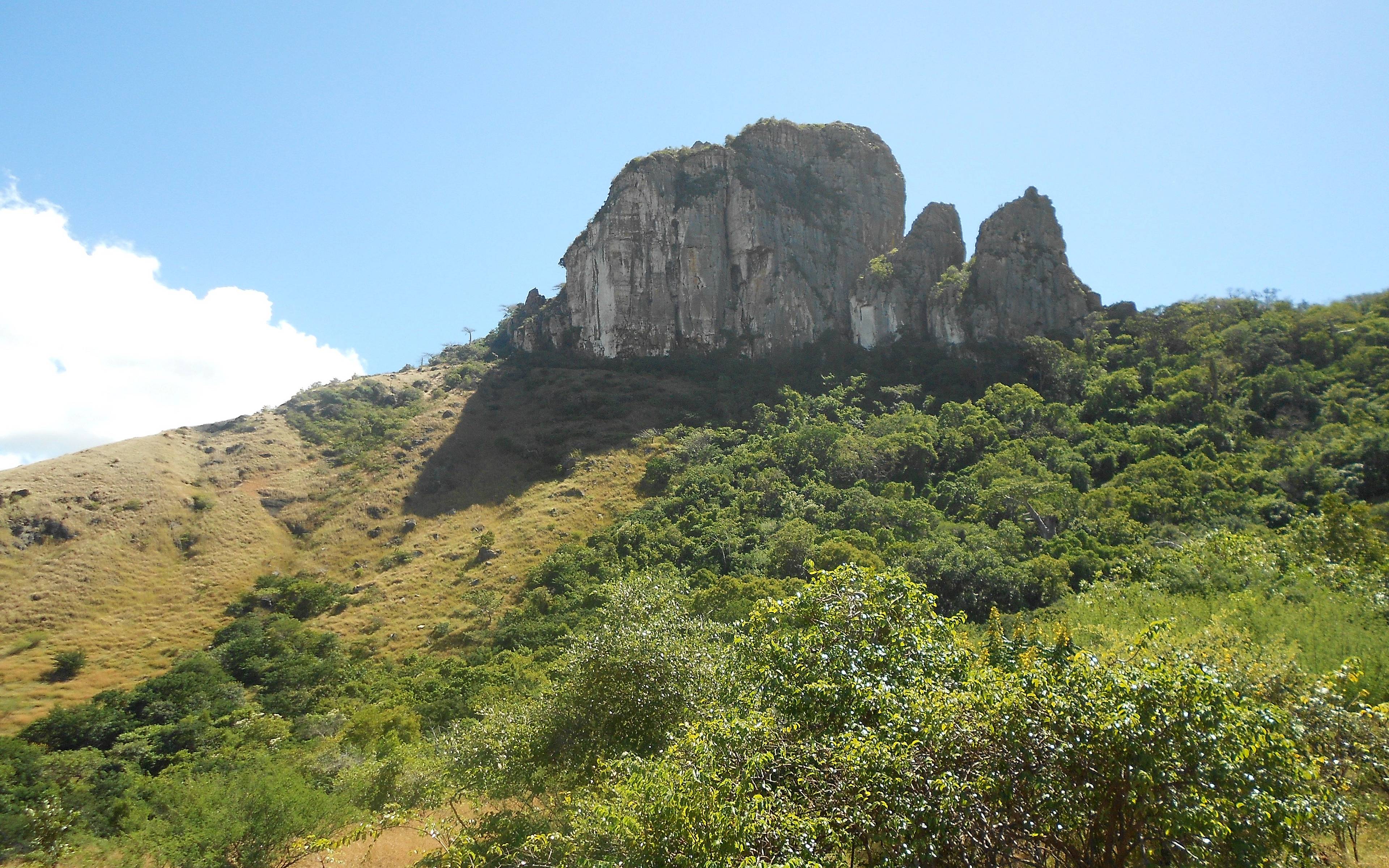
Visible from Diego-Suarez, Windsor Castle is a monolith 391 metres high, with a magnificent view from the top.
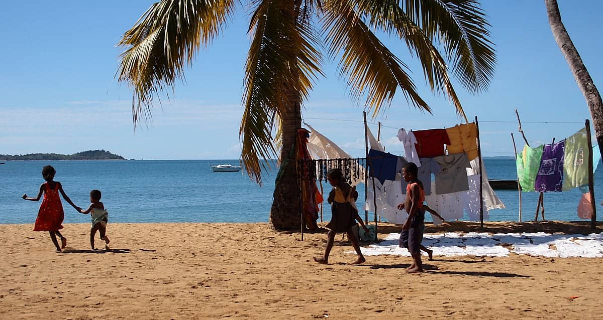
Peacefulness and simplicity are the strong points of Nosy Komba . Indeed, this volcanic island that is 5 miles in diameter has neither electricity nor roads. It tempts you to live the local and traditional way, giving you a pleasant rest during your stay on the Red Island . It is also called Nosy Ambariovato which means "island surrounded by rocks".
The city of Antsohihy has a population of approximately 25,000 inhabitants. It is located in the Sofia region of northern Madagascar, on the National 6 between Antananarivo and Diego-Suarez and mid-way between this latter and Mahajanga.
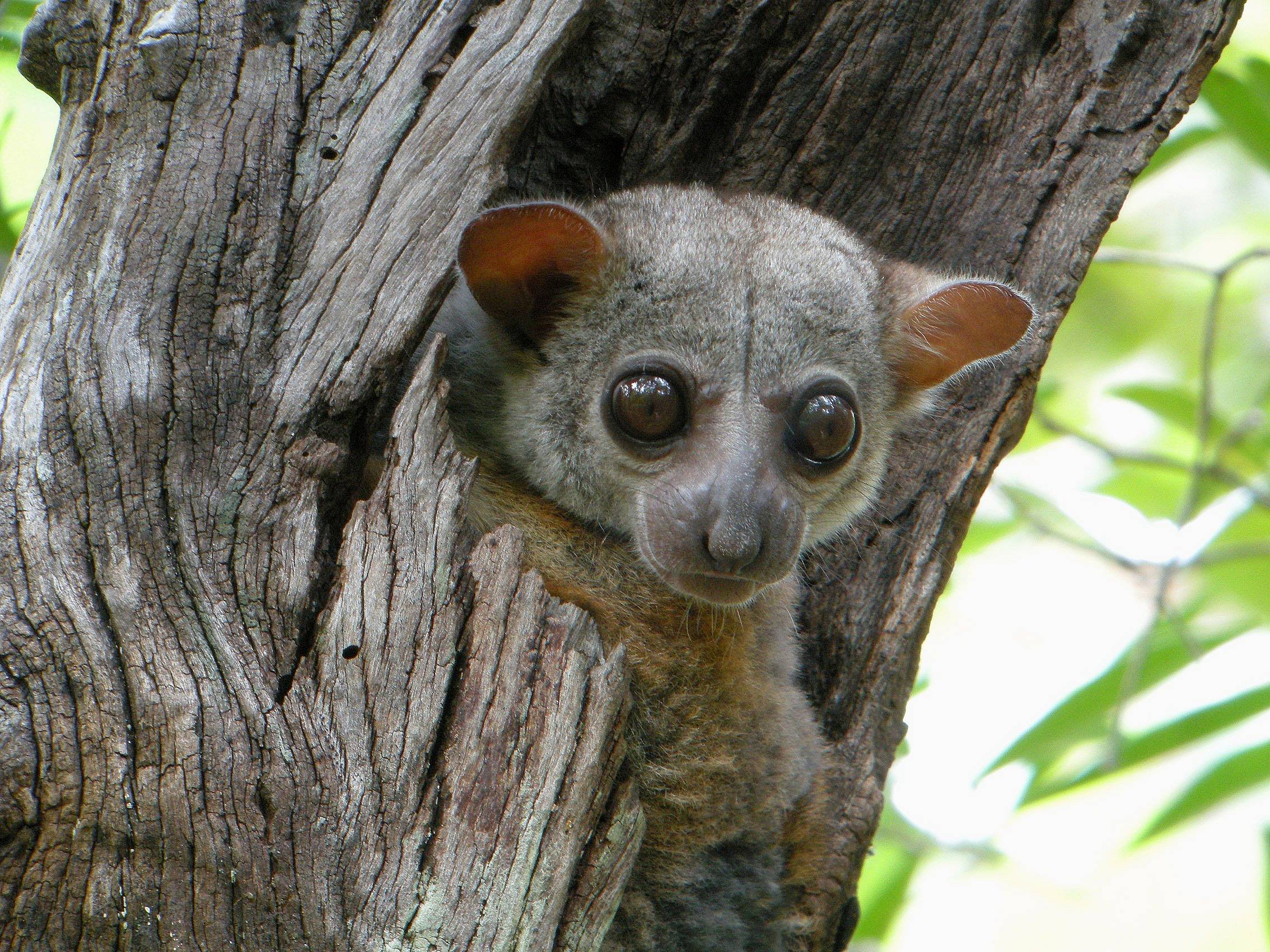
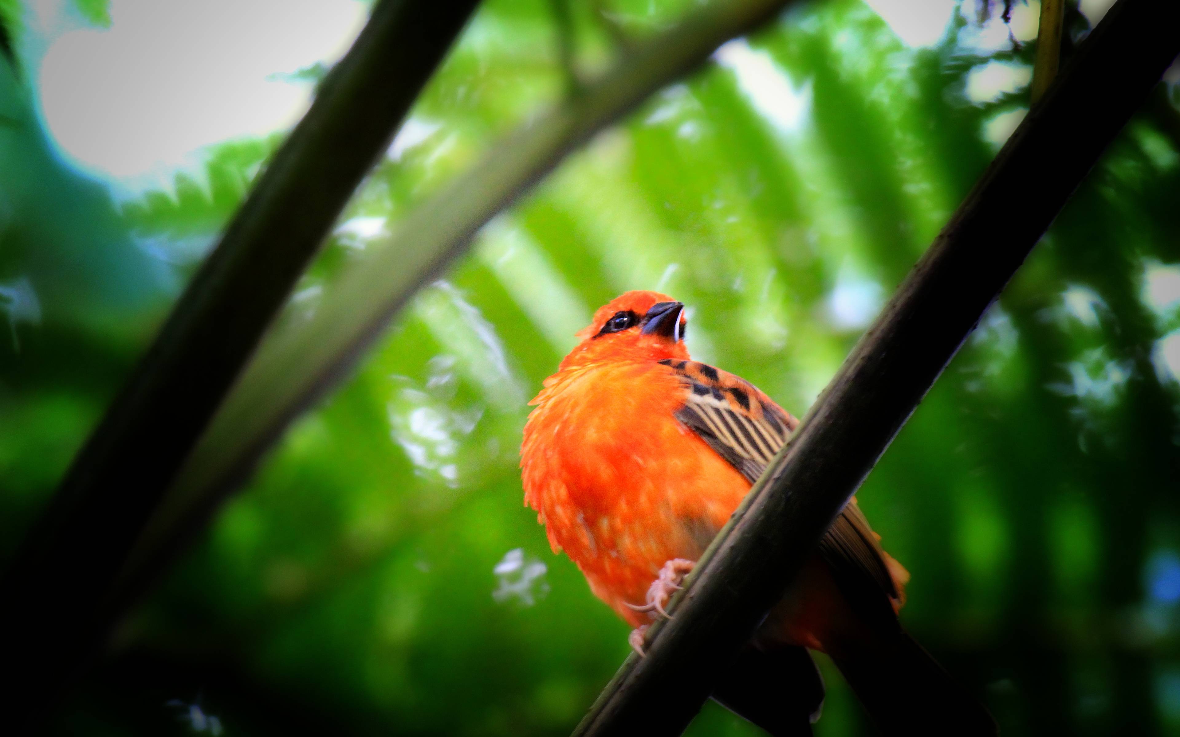
Ankarafantsika National Park and its lakes are the ideal place for bird watching. There are lots of lakes but be careful! It is taboo for woman to swim.
Katsepy is a village near Mahajanga, which is the starting point for some beautiful walks along the coast or inland.
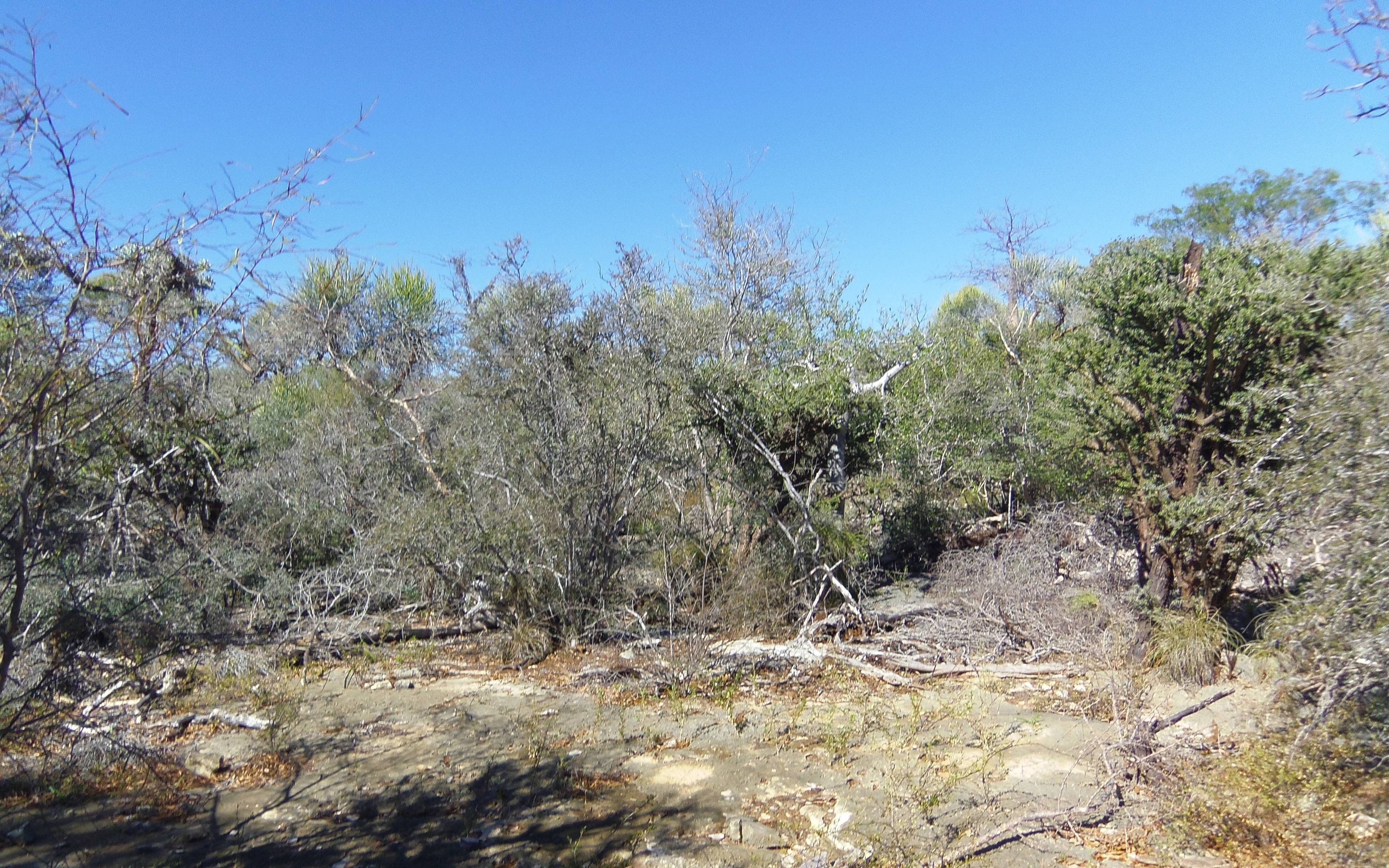
Beraketa is a little bit like the world's end. Located on the National 13 between Betroka and Ambovombe, the city is essentially a waypoint on the track leading to Ihosy or Fort-Dauphin.
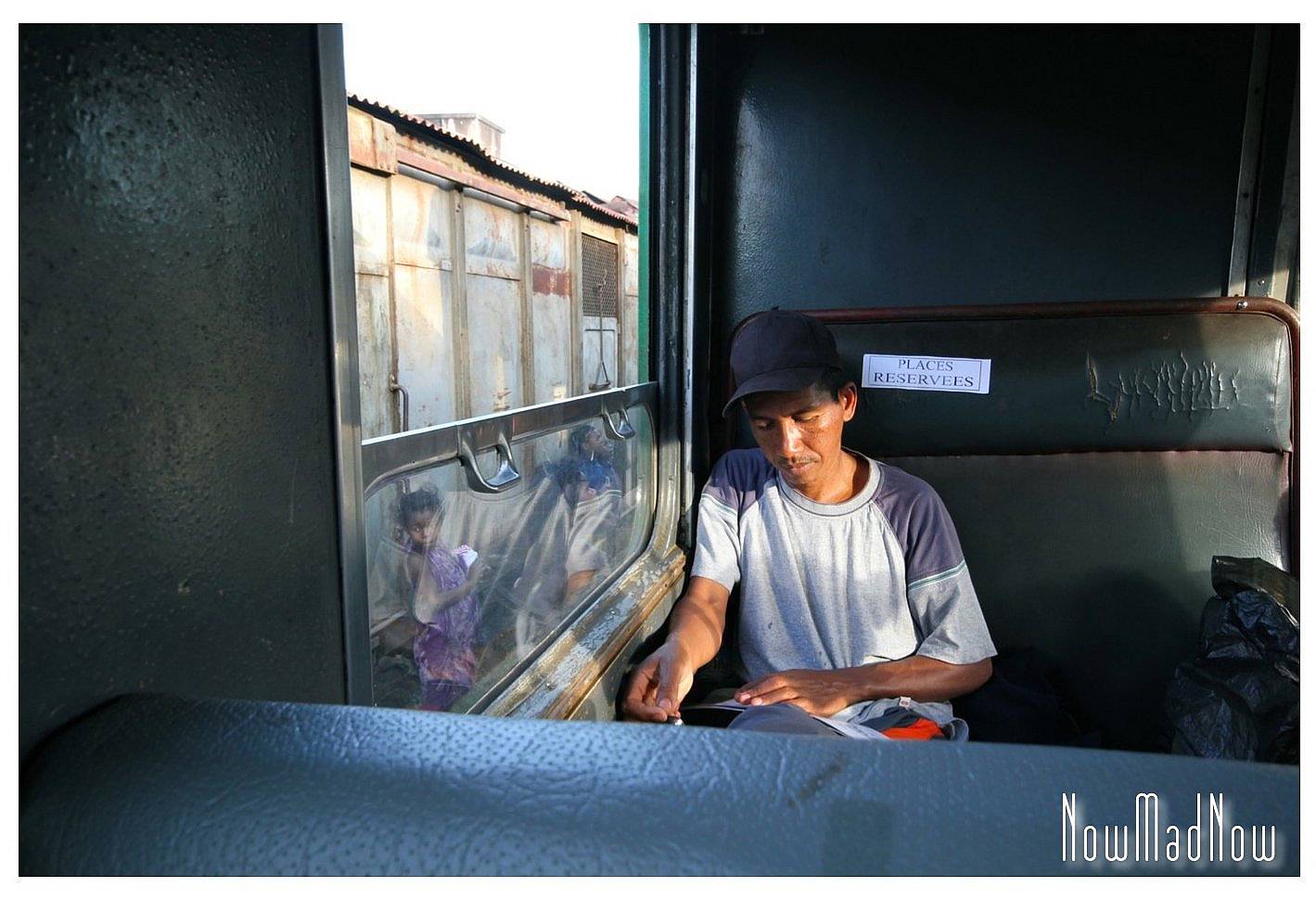
Terminus: Manakara It’s the final station on the FCE line: Fianarantsoa- Côte Est, the only railway line in the whole of Madagascar. Over here, it is best not to be in any hurry... it will take you at least 12 hours to end up in Mankara! But the trip is well worth it: mountains passing by, traveller's palm forests, bamboo, litchis, and even passing through Ranomafana forest will all be part of the adventure…
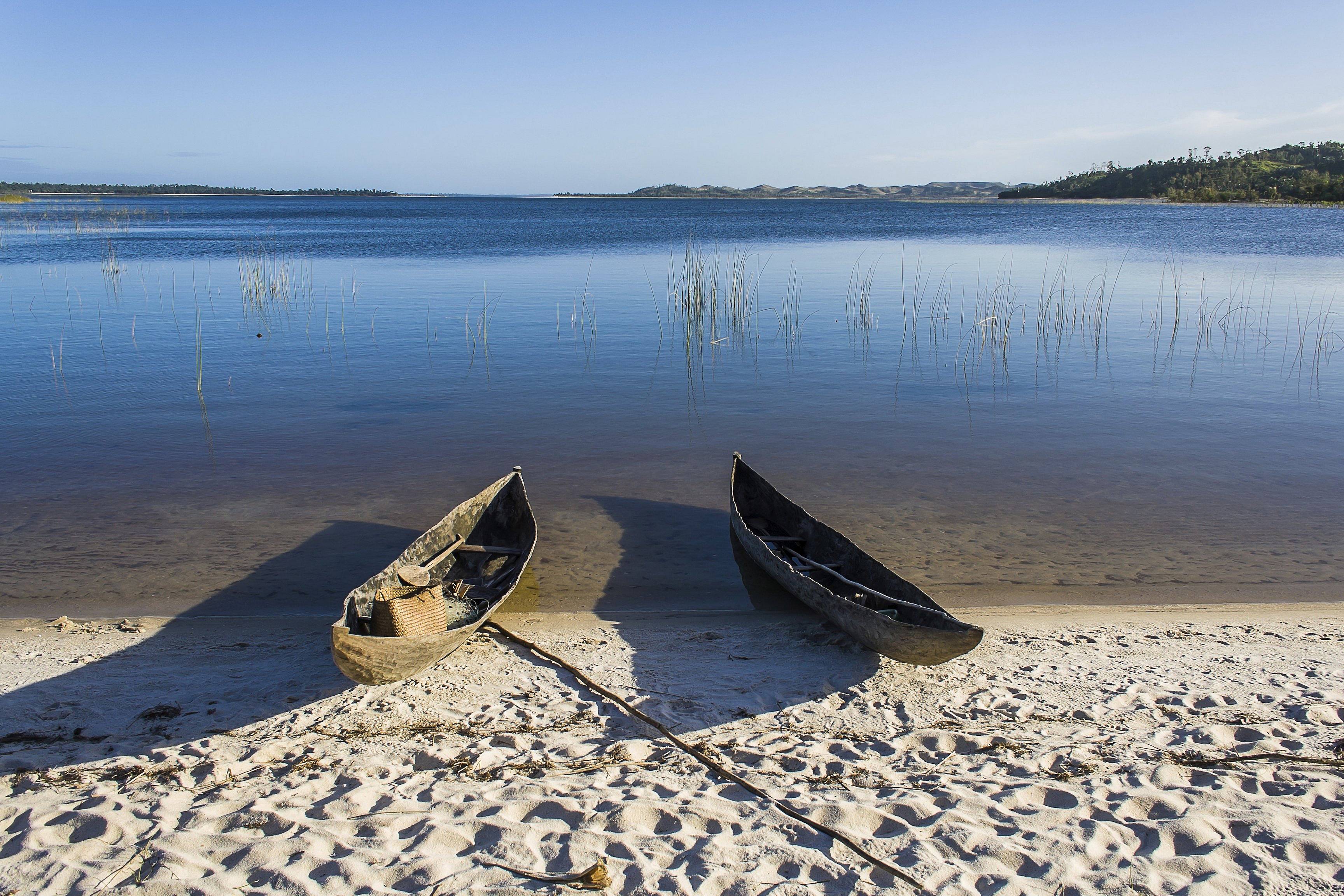
Built at the beginning of the 20th century, the Canal des Pangalanes was developed by merging hundreds of lakes and lagoons running along Madagascar's eastern coast. Stretching over more than 370 miles between Tamatave and Mananjary In the south, it boasts about 250 navigable miles.
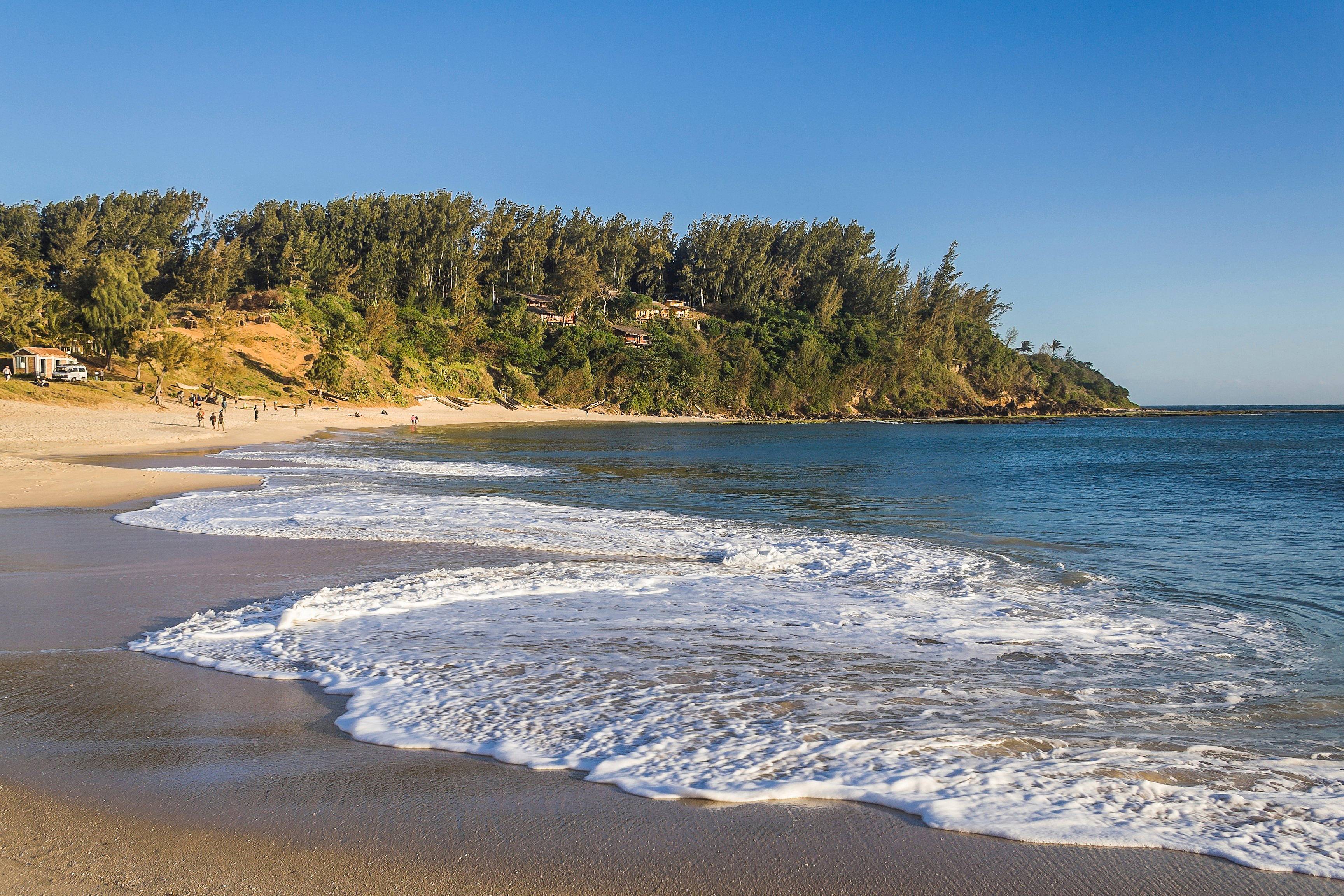
Nestled between the mountains and the Indian Ocean, Fort Dauphin or Tolagnaro translates to "place of dreams" in Malagasy. Its status as a peninsula gives it three distinct bays.
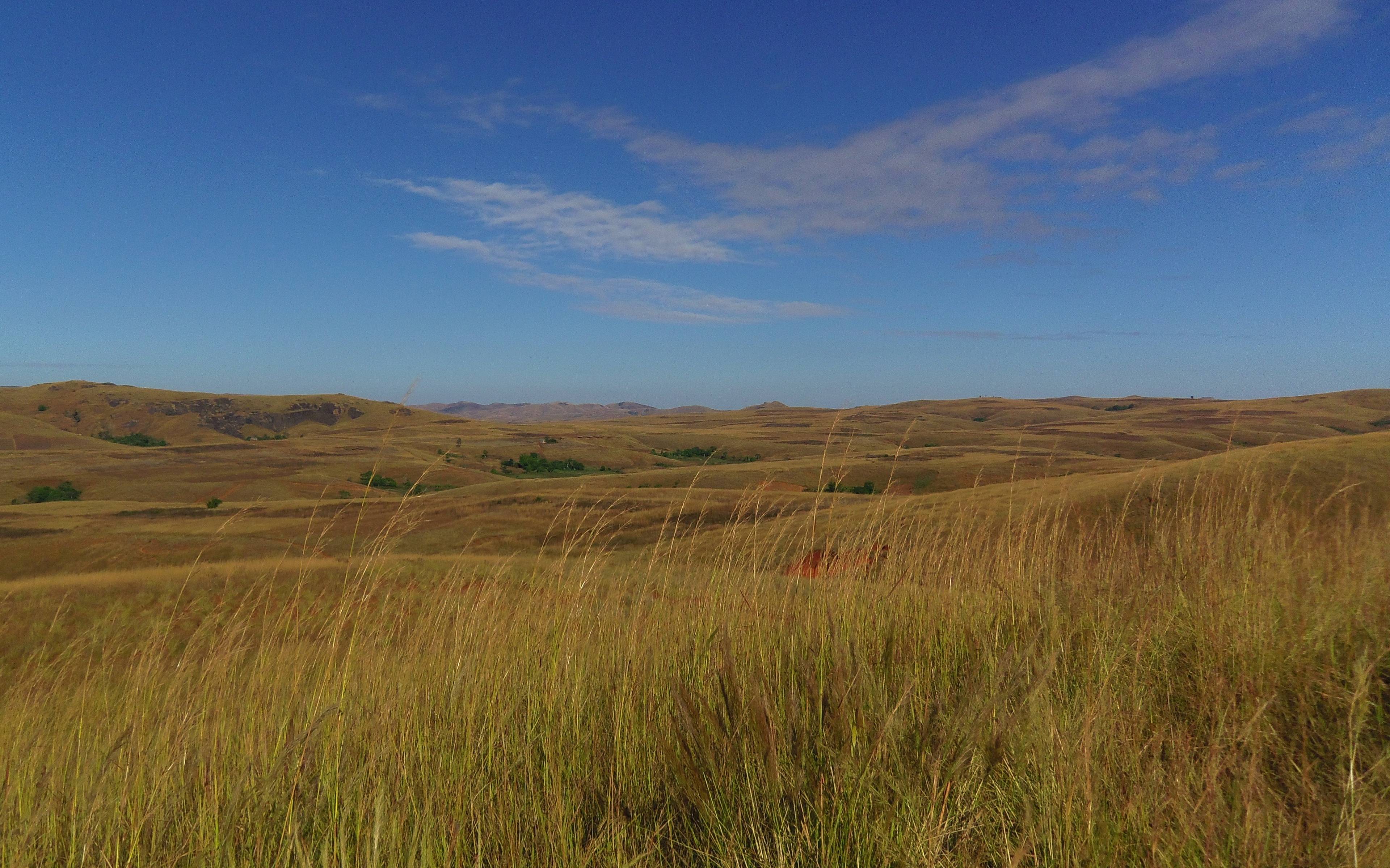
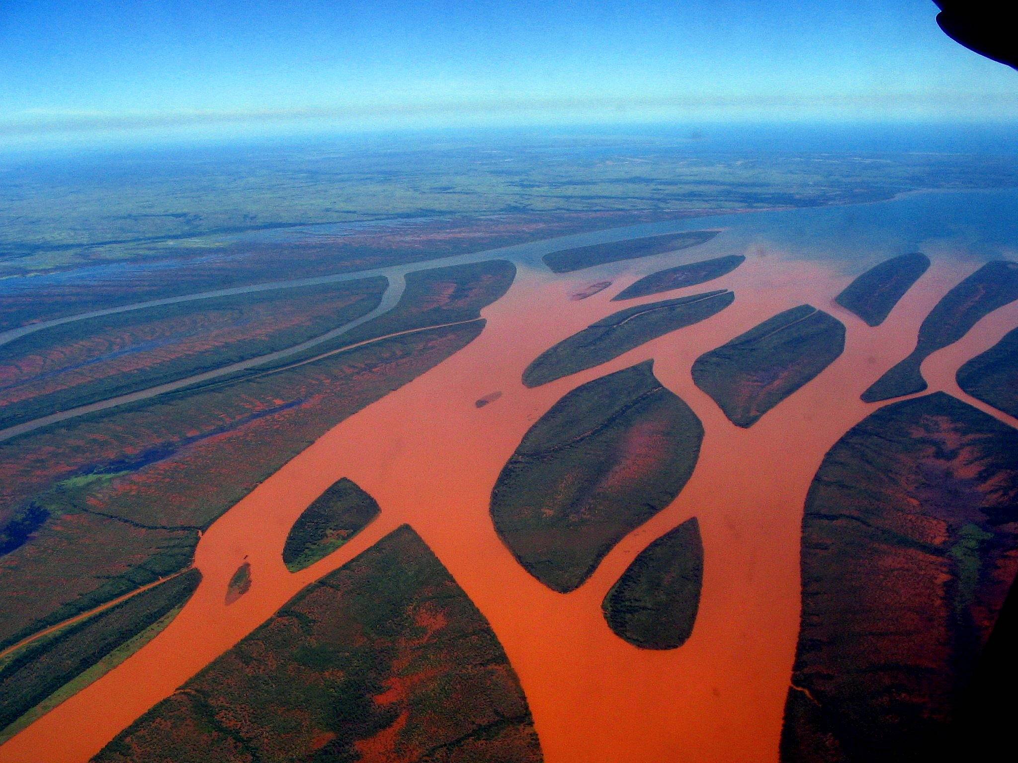
Between Antananarivo, the capital, and the city of Mahajanga in north-west, there are huge rolling plateaus as far as the eye can see: the Tampoketsa. This Malagasy term designates a landscape of bare, grassy hills shaped by erosion.
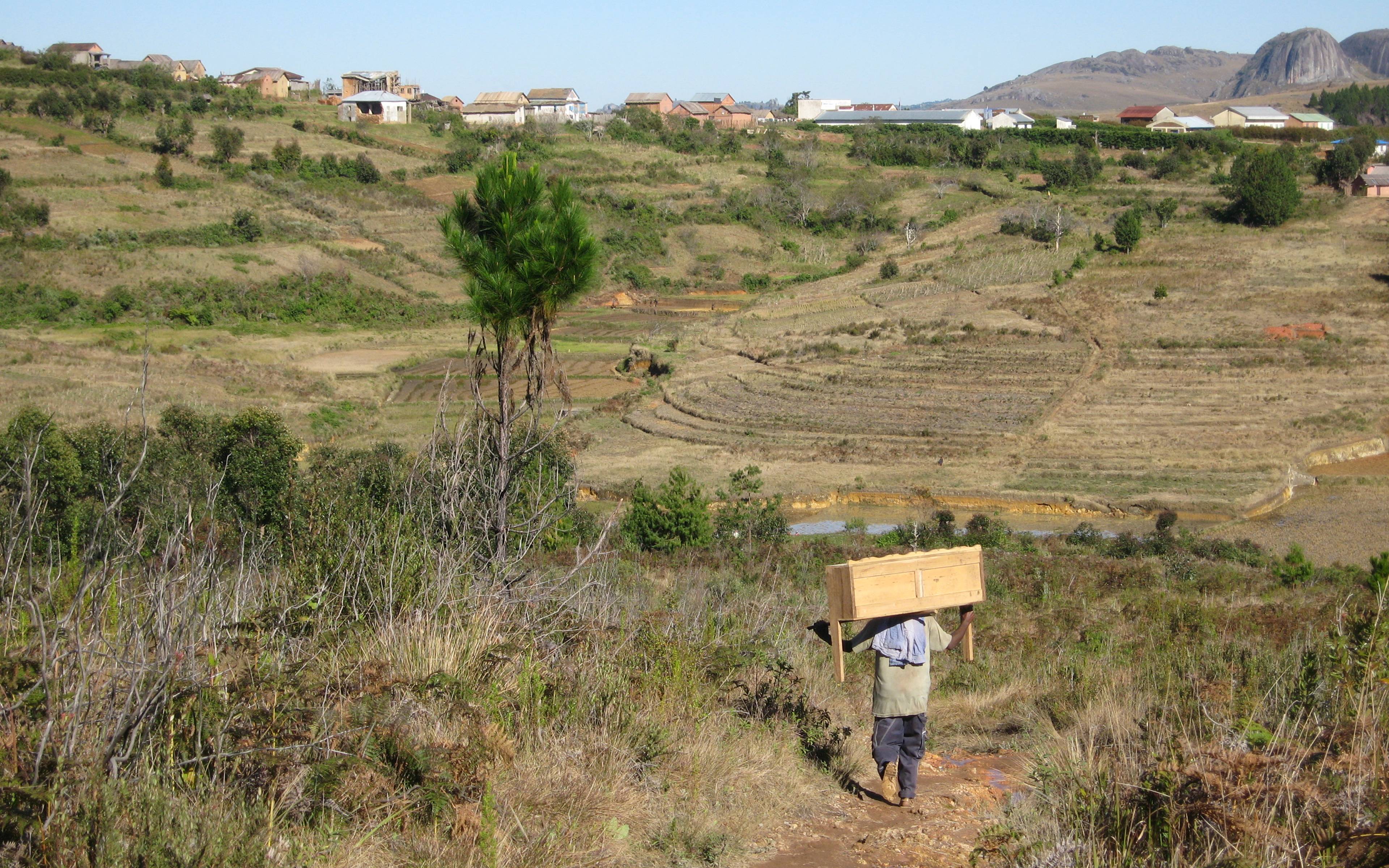
The Manandona plain has the particularity of being very wide and straight, whereas most of the Malagasy plains are steep and winding. With an average altitude of 1500 metres, the landscape of Manandona consists of a rim of mountains, high plateaus and deep gorges.
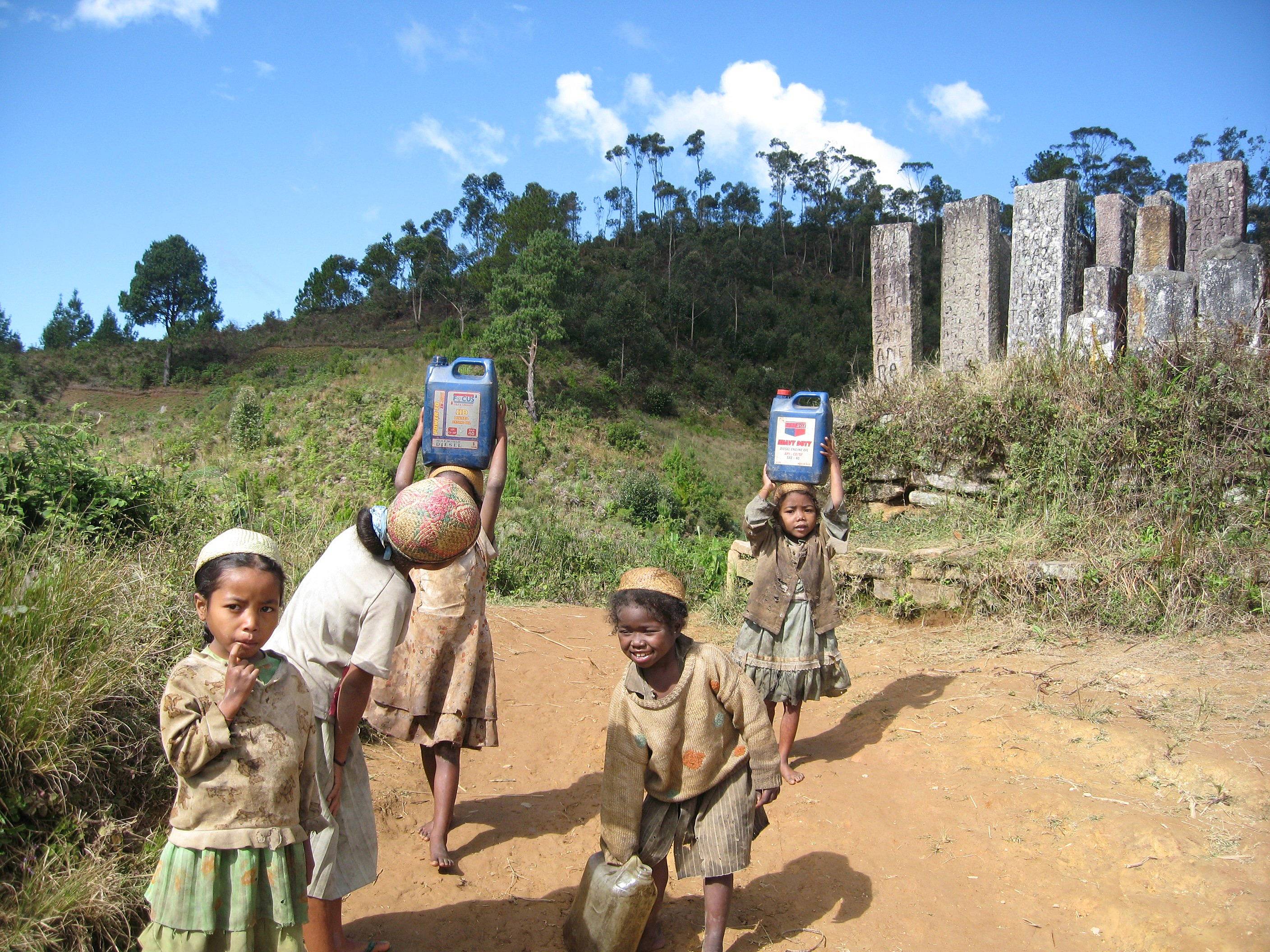
The village of Antoetra, located not far from Ambositra (prounounced "Ambustcha"), is considered the gateway to the land of the Zafimaniry, the ethnic group that inhabits the region.
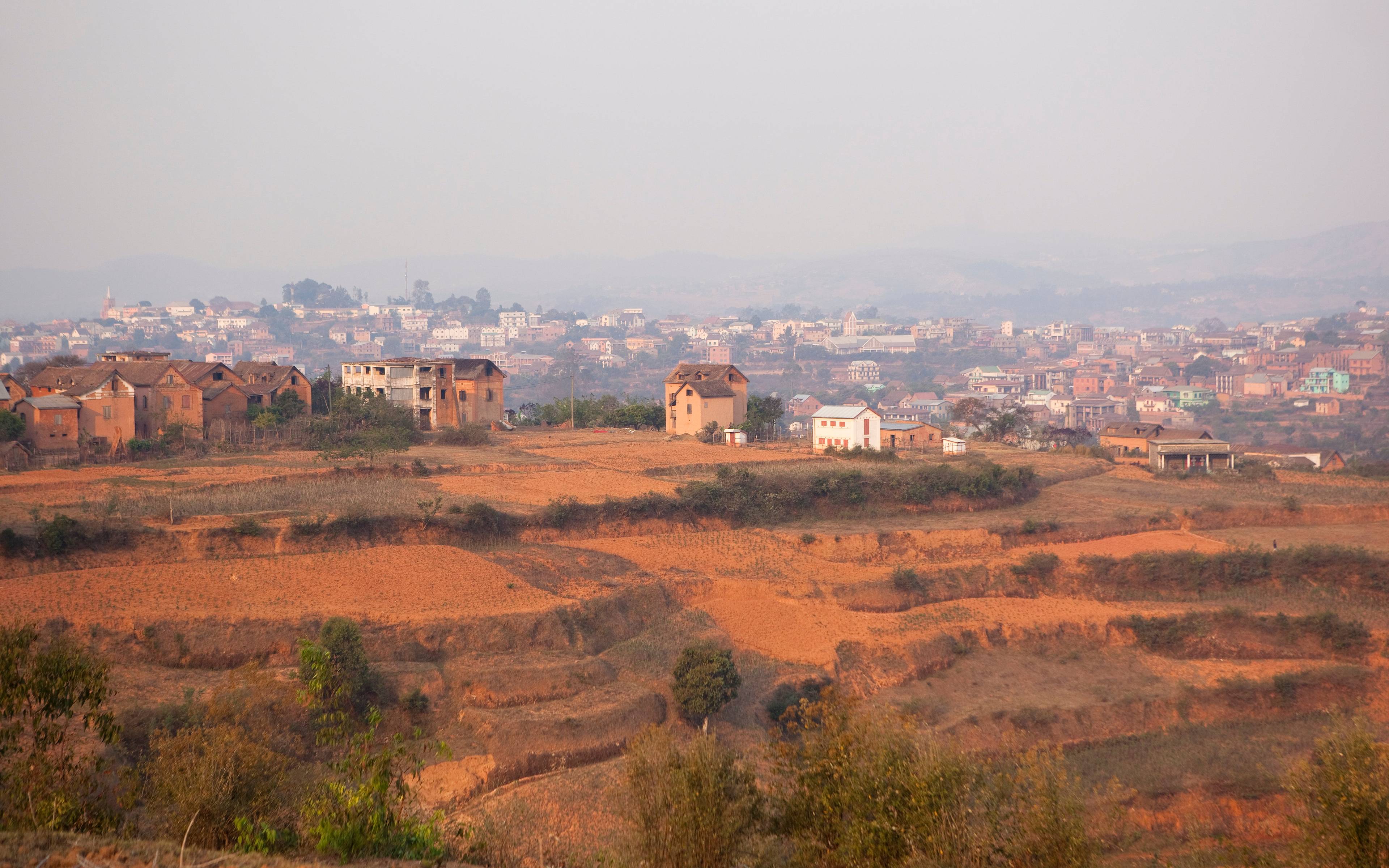
This city of 33,000 inhabitants excels in marquetry and woodcarving. In fact, Ambositra is the capital of artisan craftsmanship. Its inhabitants’ talents come from the art of the Zafimany, the forest people.
Ifasina is a small village of the High Plateaus of the Fianarantsoa region and consists of rows of small wooden houses.
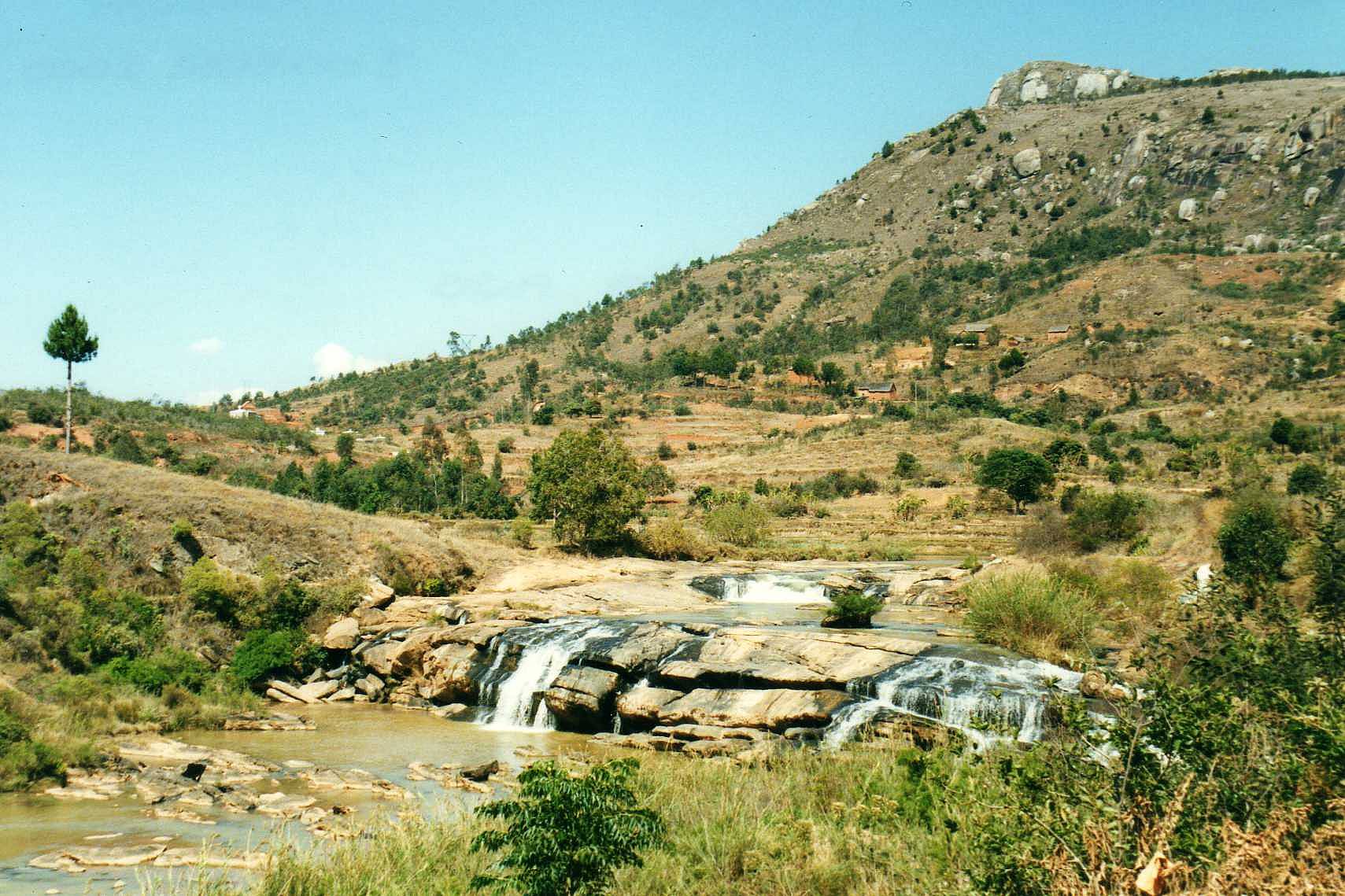
Faliarivo is one of the villages you go through when trekking in Zafimaniry country. Perched on a rocky spur, the village dominates the surrounding area and offers a breathtaking view of the region.
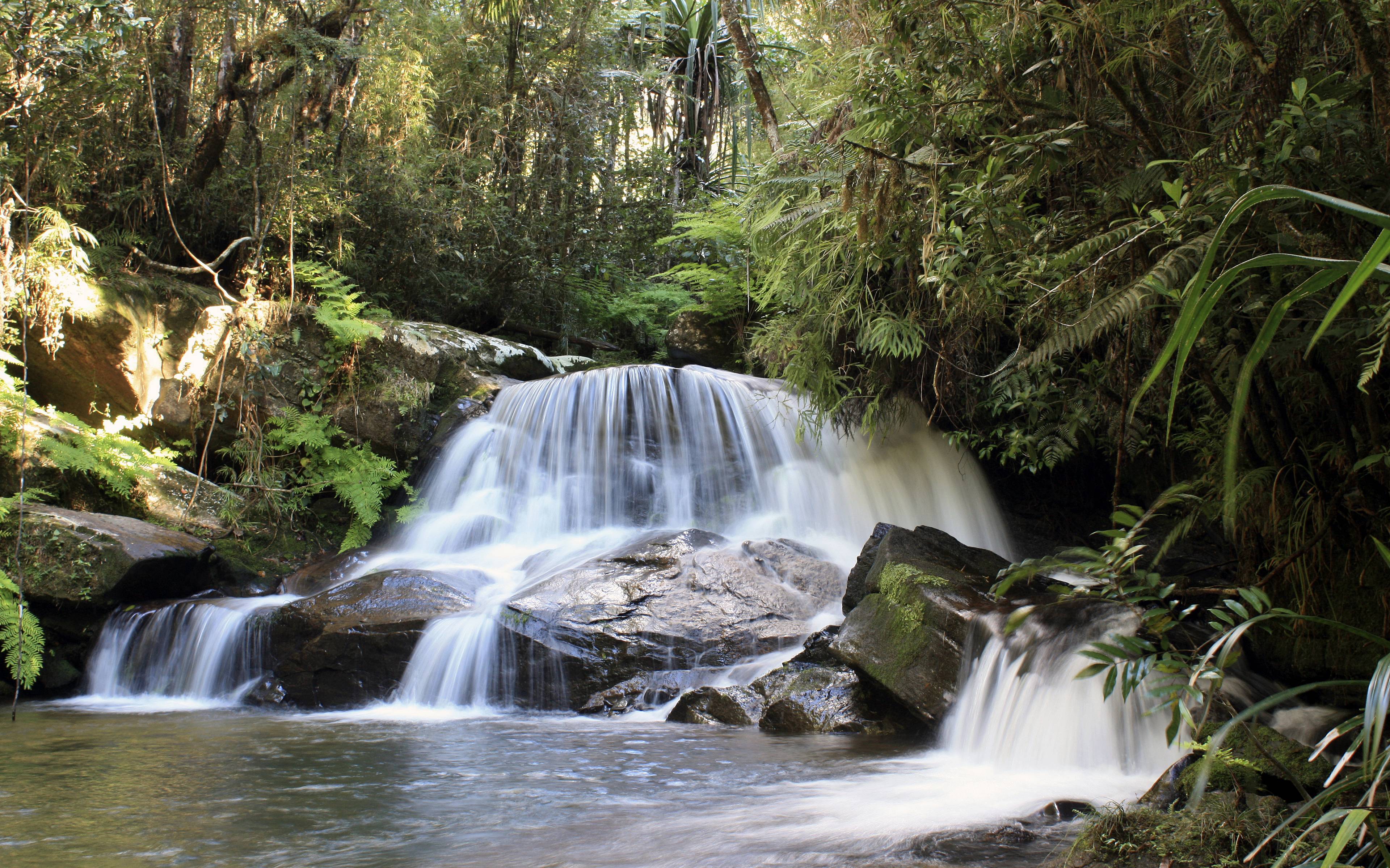
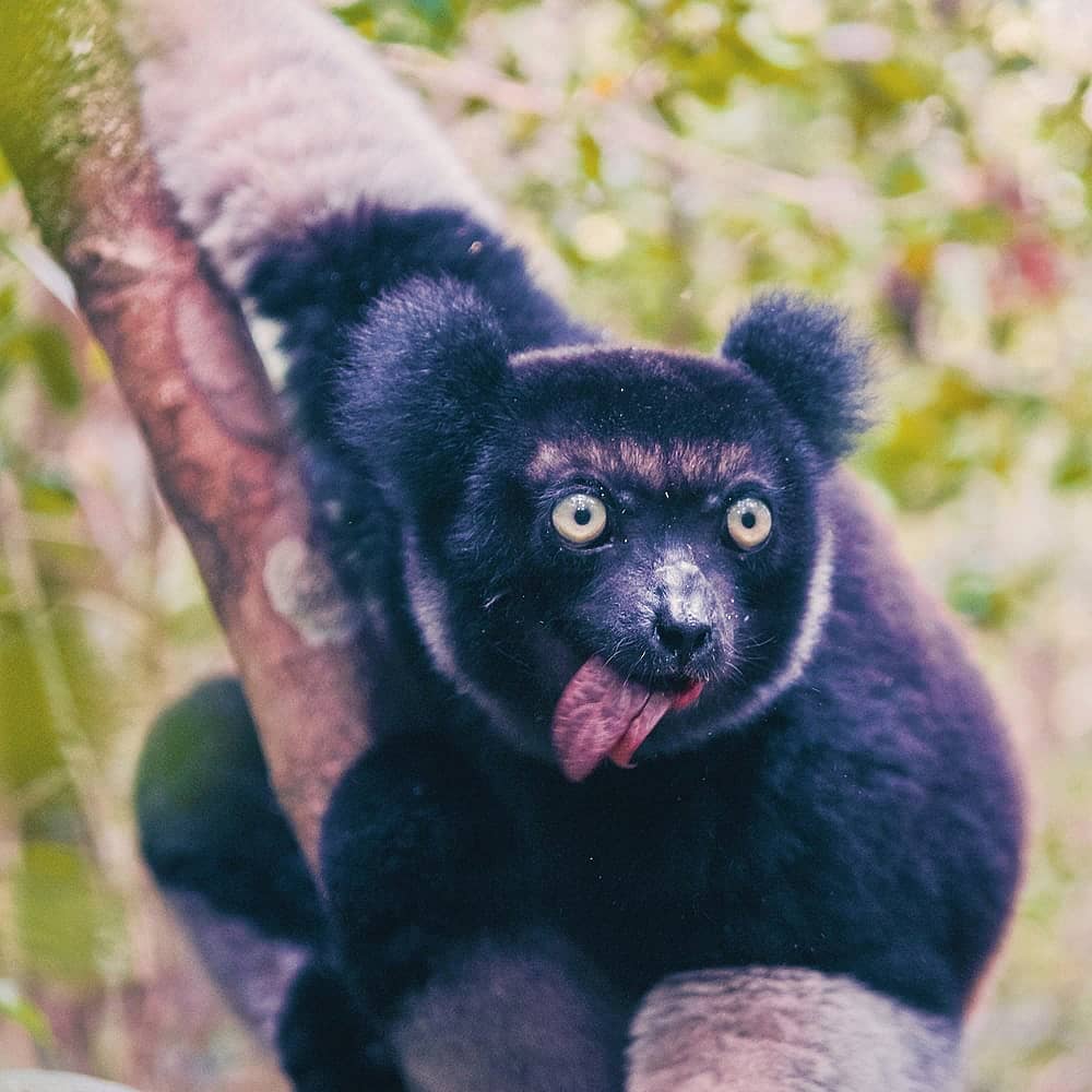
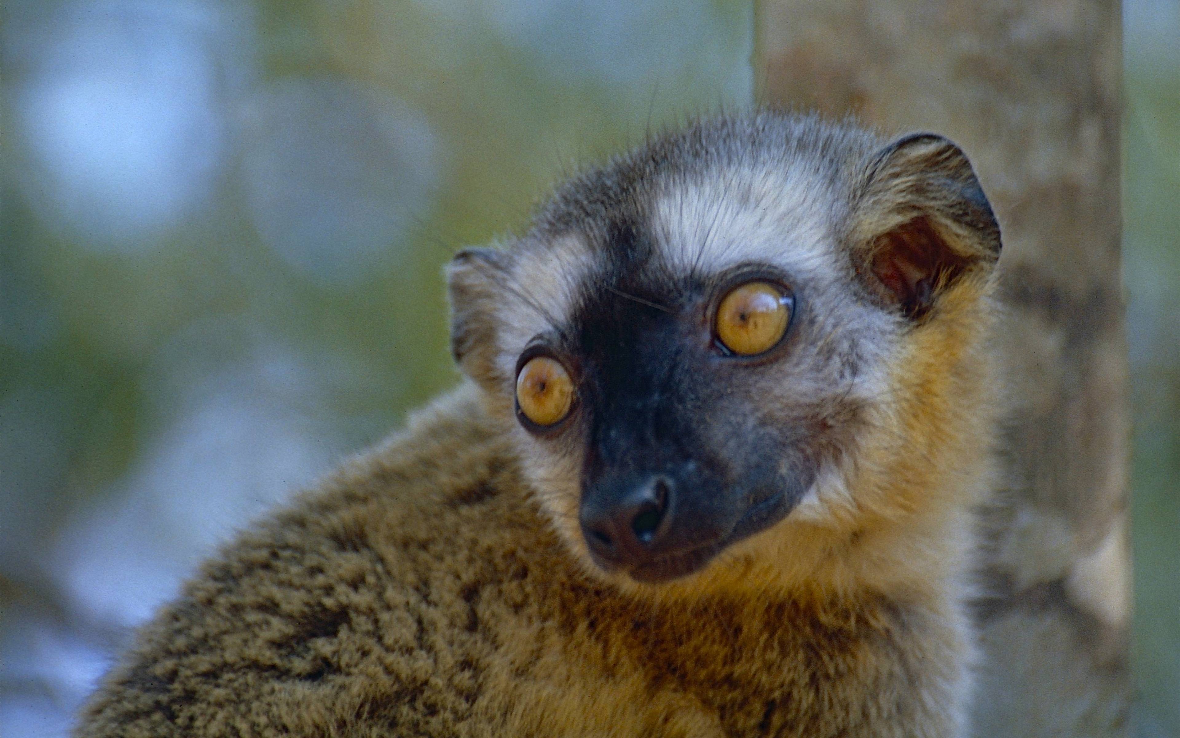
Here you are at the gates of the magical primary forest. Andasibe offers you the chance to discover Mantadia National Park and its untouched flora, a primary forest that has never been "affected" by man.

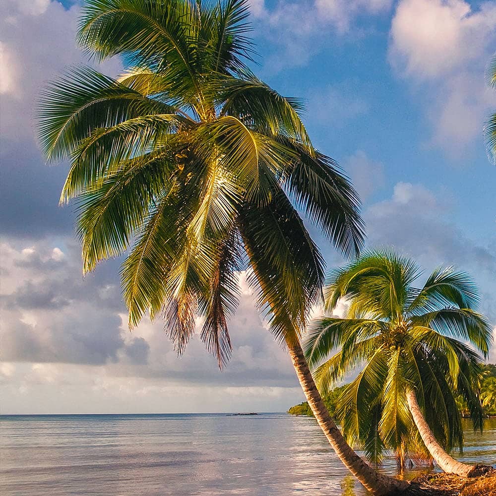
Ambatoloaka is an old fishing village on the island of Nosy Be, which has been transformed into a seaside resort today.
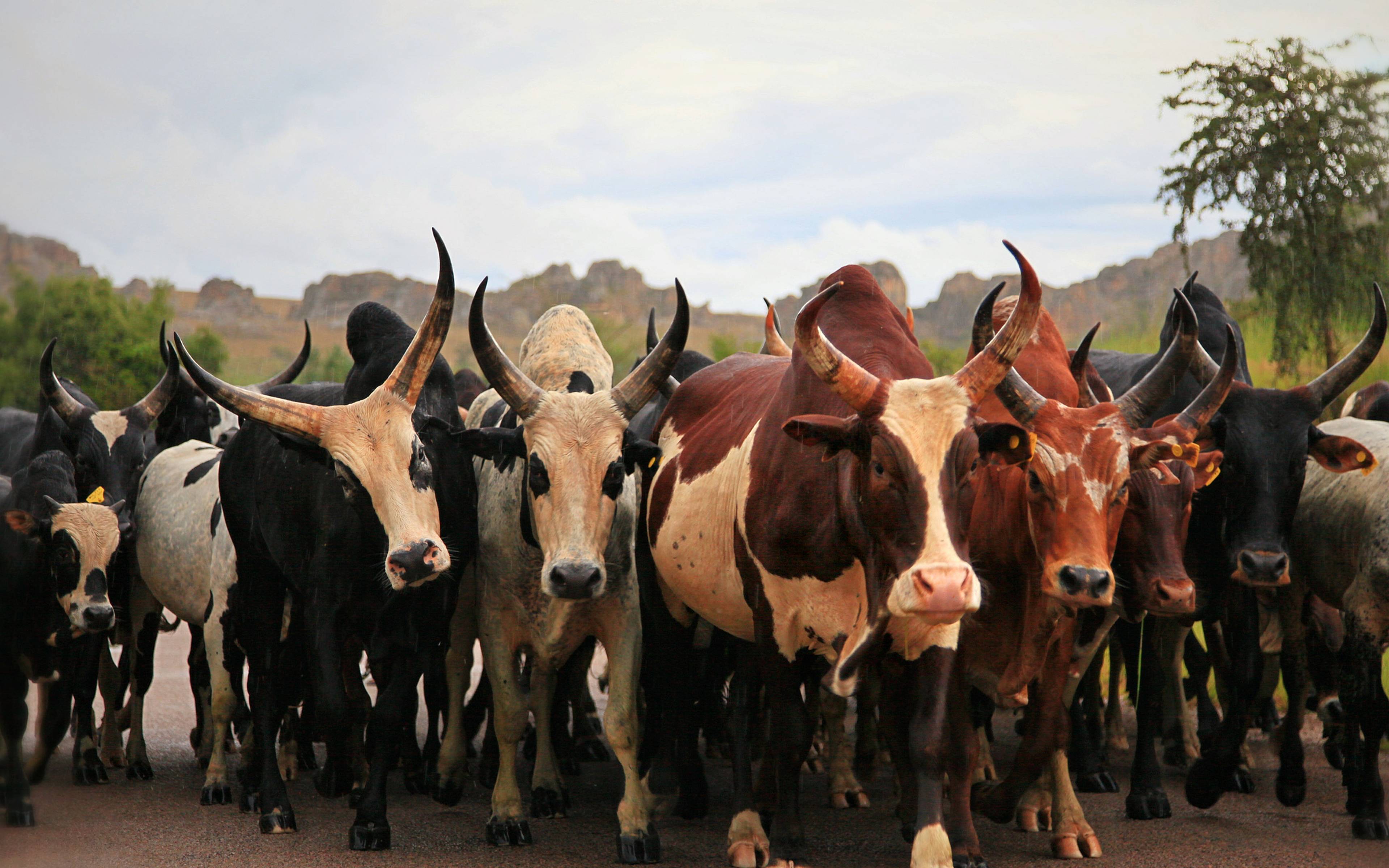
Located in the region of Bongolava, meaning "the long hills", Tsiroanomandidy lies at the border between the highlands and the south, homeland of the Bara where the zebu is king. It is home to an important zebu market.

Ankavandra is a quiet town in the Menabe region of western Madagascar.

