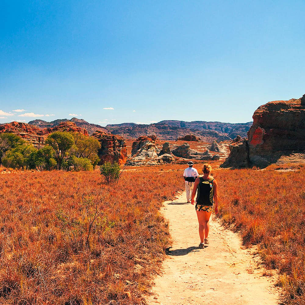
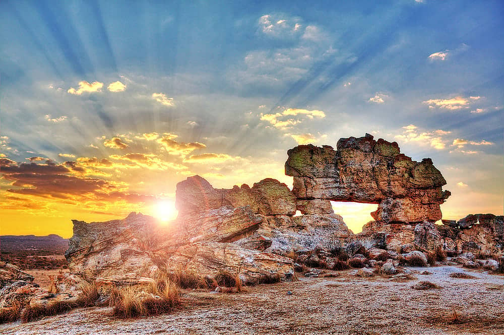
Between Antananarivo, the capital, and the city of Mahajanga in north-west, there are huge rolling plateaus as far as the eye can see: the Tampoketsa. This Malagasy term designates a landscape of bare, grassy hills shaped by erosion.
Between Antananarivo, the capital, and the city of Mahajanga in north-west, there are huge rolling plateaus as far as the eye can see: the Tampoketsa. This Malagasy term designates a landscape of bare, grassy hills shaped by erosion.
My suggestion
You will necessarily come across them during your tour of the Madagascar Highlands: keep your eyes open!
Who has never dreamed of going back in time to discover a lost paradise? Exploring the Makay massif, a remote territory in the extreme south of the island, is like discovering the myth of a forgotten valley that jealously guards its Noah's Ark...
The zebu is sure to feature in any trip to Madagascar and is of great importance in everyday life. The zebu is a visible sign of wealth, an essential part of farming and also plays a leading role in local culture.
Discover the Manambolo River, which flows through the western part of the country, gently crossing the regions of Melaky and Menabe. The journey down the Manambolo, which is more adventurous than the Tsiribihina, begins after a few days of trekking through the desert hills of the west. It is an excellent way to gain direct access to Tsingy de Bemaraha National Park!
Located A2 kilometres from Toliara, the Antsokay Arboretum is home to a great number of plant species from southern Madagascar. As you walk amongst the different trees, a guide will explain the role of each substance in the daily life of the region's inhabitants. A wonderful introduction to the culture of the south of the country